 Beta
Beta
Geological History of Bruny Island
Bruny Island
320 million years ago, when the supercontinent of Pangea was breaking up to form smaller supercontinents including Gondwana, southern Bruny Island lay below the ocean. Muddy sediments and sand deposited on the ocean floor gradually became rock, and between 280 and 220 million years ago this formed part of a broad freshwater plain that deposited sandy sediments on top of previous layers.
Over time these layers of sediment became the sandstone of today.
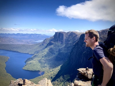
Then 174 million years ago, huge volumes of magma rose from deep inside the Earth's crust, then hardening to form the dolerite that dominates the Southern part of Bruny Island today and can be seen prominently in the dolerite cliffs of places like Fluted Cape.
This coincided with the breaking up of Gondwanaland and the formation of the continental formations of today.
At the end of the last ice age, sea levels rose to around their present levels 6,000 years ago, and in the process of the rising of sea levels, large volumes of sand were brought from the ocean floor and can be found in parts of Southern Bruny such as Cloudy Bay and the Labillardiere Peninsula.
Reference: Buckman, G. (2002, p.247-248). Tasmania's National Parks - A Visitor's Guide. Lindisfarne, Tasmania. Advance Publicity/Greg Buckman
Lead Photo: "Cliffs of Gold" by Warwick Berry.


Phill Pullinger
320 million years ago, when the supercontinent of Pangea was breaking up to form smaller supercontinents including Gondwana, southern Bruny Island lay below the ocean. Muddy sediments and sand deposited on the ocean floor gradually became rock, and between 280 and 220 million years ago this formed part of a broad freshwater plain that deposited sandy sediments on top of previous layers.
Over time these layers of sediment became the sandstone of today.
Then 174 million years ago, huge volumes of magma rose from deep inside the Earth's crust, then hardening to form the dolerite that dominates the Southern part of Bruny Island today and can be seen prominently in the dolerite cliffs of places like Fluted Cape.
This coincided with the breaking up of Gondwanaland and the formation of the continental formations of today.
At the end of the last ice age, sea levels rose to around their present levels 6,000 years ago, and in the process of the rising of sea levels, large volumes of sand were brought from the ocean floor and can be found in parts of Southern Bruny such as Cloudy Bay and the Labillardiere Peninsula.
Reference: Buckman, G. (2002, p.247-248). Tasmania's National Parks - A Visitor's Guide. Lindisfarne, Tasmania. Advance Publicity/Greg Buckman
Lead Photo: "Cliffs of Gold" by Warwick Berry.
You might like...

Re-wilding the New Town Rivulet

Earth's history in Adventure Bay's rocks

Panipiason: Gateway to Aklan Mountain Adventures
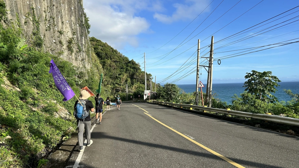
Walk for Wildlife: Circumnavigating the Northwest Panay Peninsula on Foot
Newsletter
Sign up to keep in touch with articles, updates, events or news from Kuno, your platform for nature