 Beta
Beta
Flatwater Grades
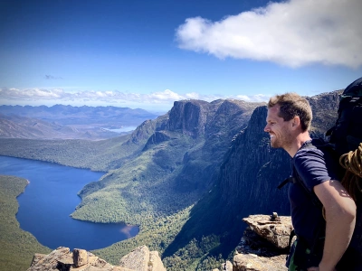
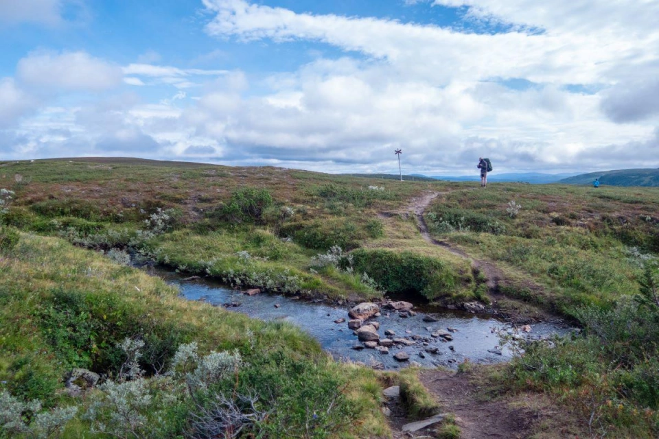
“The way of a canoe is the way of the wilderness, and of a freedom almost forgotten.” – Sigurd F. Olson
This explanation of flatwater paddling grades is taken directly from the Paddle NSW Inc Waterways Guide with slight adoption for the Kuno site.
Sea and open water conditions vary according to many factors, these may include:
- Wind strength
- Duration the wind has been blowing
- Fetch (the distance over which the wind has blown)
- Depth of water
- Bottom type and shape
- Presence and type of shore lines
- Currents
- Air and water temperature
- Tide
The Sea/Open Water Grading System is an indication of the expected difficulty for a designated journey rather than a specific area or site. It is based on the paddling trip being carried out in up to “moderate” wind conditions (i.e. 20-28 km/h, 11-16 Knots). It is the overall grade for the trip also taking into account factors such as expected water conditions, swell, type of entry and exits, distance between suitable landing spots and from land or forms of support and rescue, type of coast and other hazards (rocks, reefs, vessels, etc).
It should always be remembered that a significant change in the intensity or direction of the wind or swell could turn a comfortable paddling trip on the sea or open water into a challenging and potentially dangerous situation in a matter of minutes. Be prepared with the appropriate equipment, skills and knowledge including an awareness of the current weather forecast.
Sea / Open Water Grade 1: Sheltered flat water with minimal currents, easy entry and exits and no more than 500m from safe landing sites.
Sea / Open Water Grade 2: Unsheltered inland open waters, estuaries and lakes, or sheltered coastline. Small waves or surf less than 0.5m, currents less than 2km/h, crossings no more than 1km from safe landing sites.
Sea / Open Water Grade 3: Sheltered coastal waters with possible wind against wave or tide effects and moderate breaking seas. Possible surf entry and exits less than 1m, currents less than 4km/h, up to 5km crossings or from safe landing sites.
Sea / Open Water Grade 4: Unsheltered coastal waters which may encounter steepening swell and breaking seas, wind against wave or tide effects. Entry and exits may be difficult and involve negotiation of surf up to 2m. May involve fast currents up to 7km/h and up to 10km crossings or from safe landing sites.
Sea / Open Water Grade 5: Unsheltered coastal waters, isolated remote areas and ocean with crossings or distance from safe landing sites of up to 30km. May encounter large, steep swell, breaking waves and complex fast currents. Possible dangerous surf entries and exits with waves more than 2m.

Phill Pullinger
“The way of a canoe is the way of the wilderness, and of a freedom almost forgotten.” – Sigurd F. Olson
This explanation of flatwater paddling grades is taken directly from the Paddle NSW Inc Waterways Guide with slight adoption for the Kuno site.
Sea and open water conditions vary according to many factors, these may include:
- Wind strength
- Duration the wind has been blowing
- Fetch (the distance over which the wind has blown)
- Depth of water
- Bottom type and shape
- Presence and type of shore lines
- Currents
- Air and water temperature
- Tide
The Sea/Open Water Grading System is an indication of the expected difficulty for a designated journey rather than a specific area or site. It is based on the paddling trip being carried out in up to “moderate” wind conditions (i.e. 20-28 km/h, 11-16 Knots). It is the overall grade for the trip also taking into account factors such as expected water conditions, swell, type of entry and exits, distance between suitable landing spots and from land or forms of support and rescue, type of coast and other hazards (rocks, reefs, vessels, etc).
It should always be remembered that a significant change in the intensity or direction of the wind or swell could turn a comfortable paddling trip on the sea or open water into a challenging and potentially dangerous situation in a matter of minutes. Be prepared with the appropriate equipment, skills and knowledge including an awareness of the current weather forecast.
Sea / Open Water Grade 1: Sheltered flat water with minimal currents, easy entry and exits and no more than 500m from safe landing sites.
Sea / Open Water Grade 2: Unsheltered inland open waters, estuaries and lakes, or sheltered coastline. Small waves or surf less than 0.5m, currents less than 2km/h, crossings no more than 1km from safe landing sites.
Sea / Open Water Grade 3: Sheltered coastal waters with possible wind against wave or tide effects and moderate breaking seas. Possible surf entry and exits less than 1m, currents less than 4km/h, up to 5km crossings or from safe landing sites.
Sea / Open Water Grade 4: Unsheltered coastal waters which may encounter steepening swell and breaking seas, wind against wave or tide effects. Entry and exits may be difficult and involve negotiation of surf up to 2m. May involve fast currents up to 7km/h and up to 10km crossings or from safe landing sites.
Sea / Open Water Grade 5: Unsheltered coastal waters, isolated remote areas and ocean with crossings or distance from safe landing sites of up to 30km. May encounter large, steep swell, breaking waves and complex fast currents. Possible dangerous surf entries and exits with waves more than 2m.
Love what you're reading? Support Kuno donate to support them now
Donate hereYou might like...

Restoring urchin barrens in Sydney Harbour

Jamie Kirkpatrick: a life for Nature

Bruny Youth Story Prize
Allemansrätten: the freedom to roam
Newsletter
Sign up to keep in touch with articles, updates, events or news from Kuno, your platform for nature